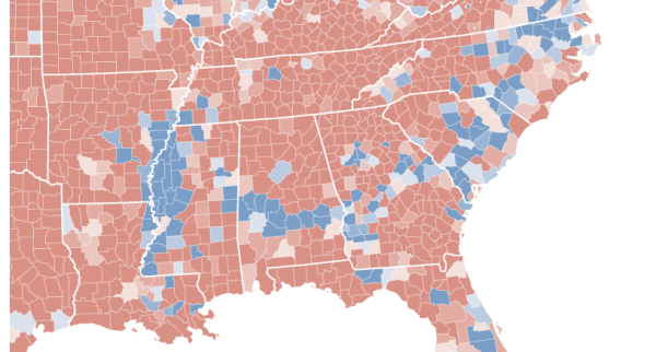
Map Lincoln used to see reach of slavery. % of slaves in the Southern states, 1860. Info: https://t.co/MVfqrCPWRP pic.twitter.com/KgGEkWy5Hp
— Cliff Pickover (@pickover) May 23, 2016
Compare that map to this one, how each county voted for President in 2008.