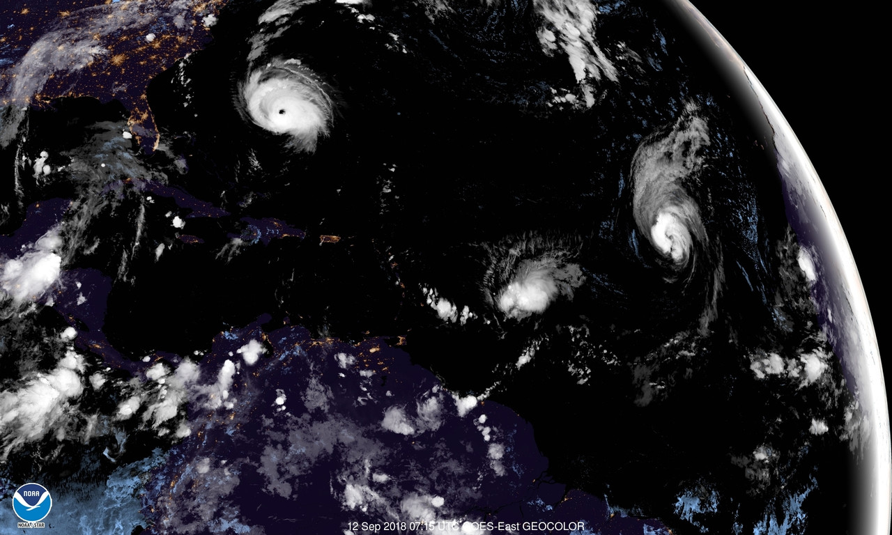
If you look at the latest IR image, you can see that the disturbance over the Yucatan is trying to turn into a tropical depression:
Florence may be steered more westerly (into SC instead of NC) if this disturbance strengthens a weak low pressure trough that extends off of it. This is why the models for Florence are given SC solutions to a landfall.
The double whammy with this Yucatan disturbance is that if it does develop then that means a tropical storm or even a hurricane could hit TX or LA concurrent with Florence in the Carolinas.
